Settle Riverside Walk
Settle Riverside Walk
Explore the lovely River Ribble on the Riverside Walk.
0.6mls (approx) from end to end
Suitable for wheelchairs, pushchairs and cycles, and within easy reach of the town centre.
The Riverside Walk lies on the route of the Ribble Way, a 69-mile long-distance footpath that follows the River Ribble from its mouth to its source.
Access is by Settle Bridge at the northern end, from Mill Lane or Bankwell Road at the centre and from Station Road at the southern end.
Stroll past old cotton and snuff mills which were so important in years gone by and wonder at the award-winning Settle Hydro which once again harnesses the river to create clean, green electricity for local homes.
If you are lucky you may see a salmon, a kingfisher or a heron
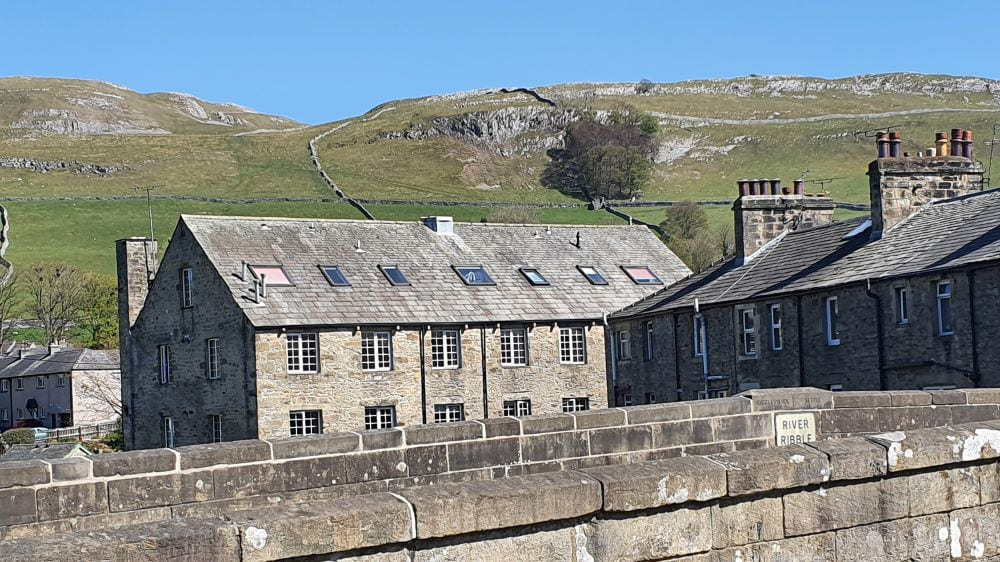
Settle Bridge lies at the northern end of the Riverside Walk and Bridge End Mill lies to the north of the bridge.
Settle Hydro can be viewed from Bridge End Mill's car park.
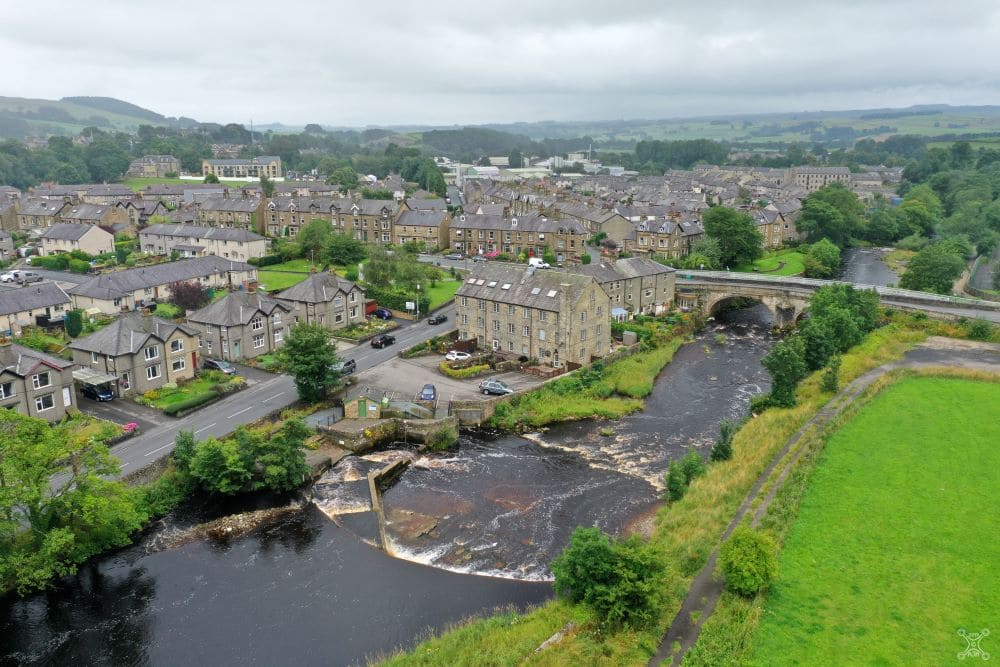
An aerial view of the River Ribble showing Settle Bridge, Bridge End Mill and Settle Hydro
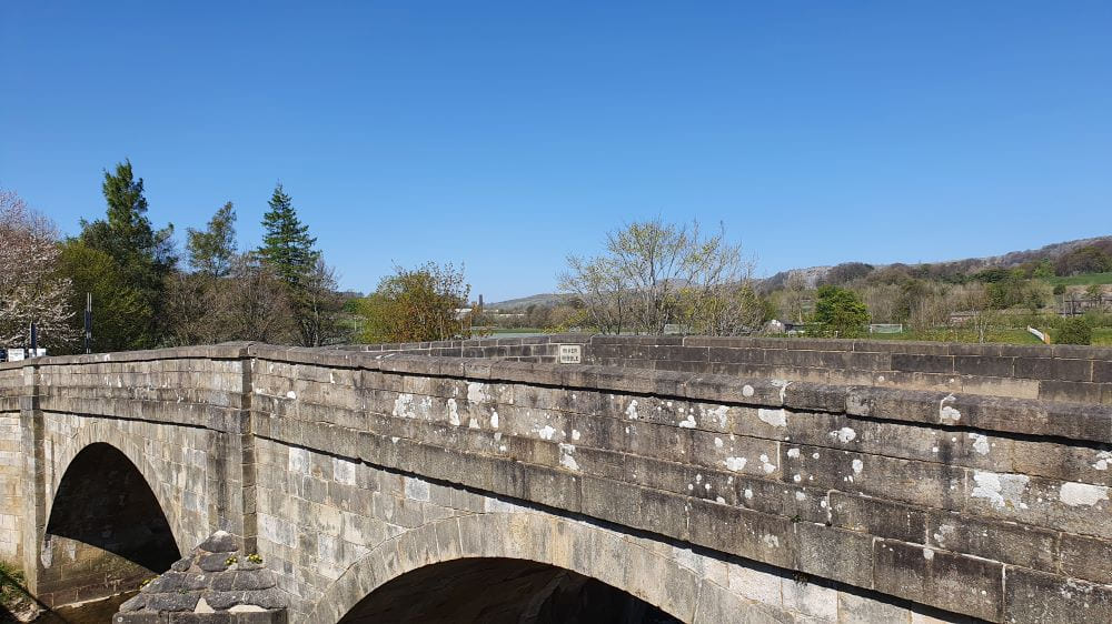
Another view of Settle Bridge (with Pen-y-ghent in the distance behind the trees)
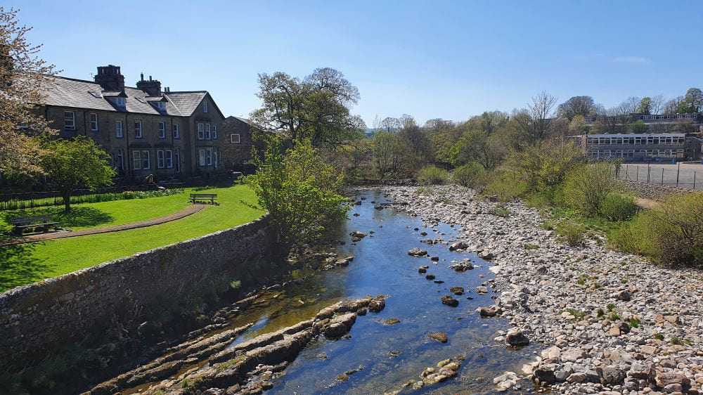
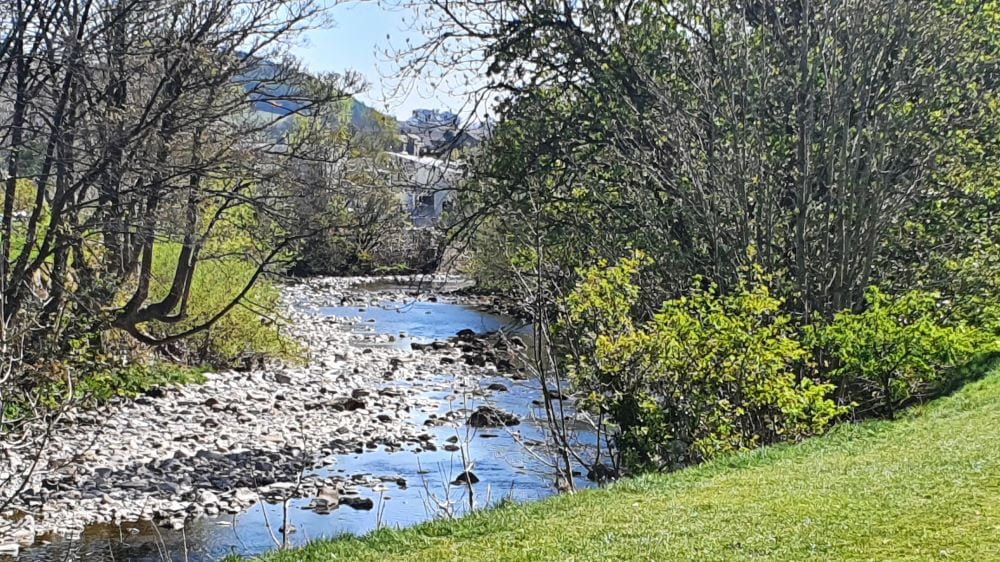
The River Ribble looking south from Settle Bridge.
Ribble Gardens (on the left bank) is a nice spot to sit and relax!
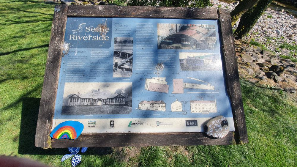
One of three information boards that are positioned along the Riverside Walk.
This board provides some historical information about Bridge End Mill.
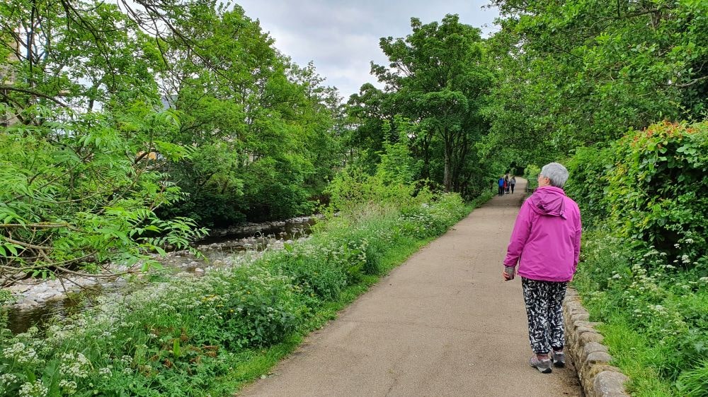
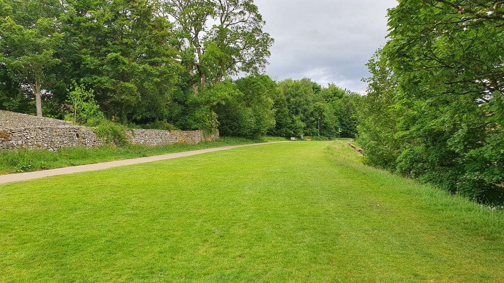
The riverside footpath is wide and flat and suitable for wheelchairs, pushchairs and bicycles.
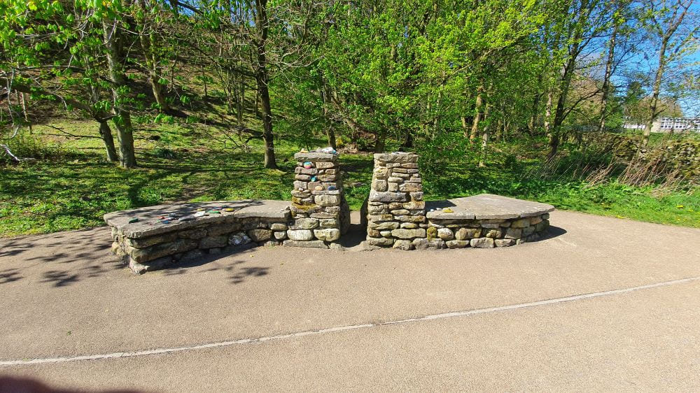
An old 'squeeze' stile that has been re-purposed as a seat.
The stile also acts as a memorial to Deirdre Cokell, the lady who was largely responsible for the development of the Riverside Walk
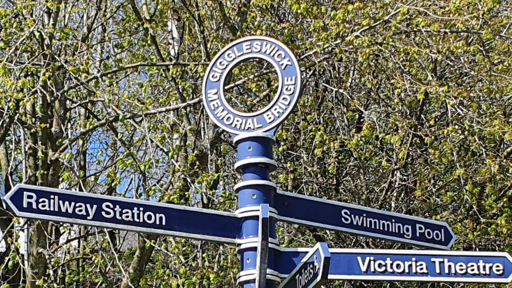
The Memorial Bridge is a footbridge across the river and commemorates servicemen and women from Giggleswick who died in the World Wars.
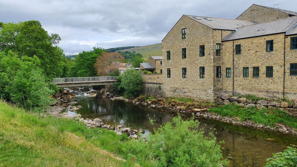
The Giggleswick Memorial Foot Bridge and Kings Mill Apartments.
Kings Mill (a Cotton Mill and then a Snuff Mill) was built in c1830 and operational until early 1900s.
The building has been converted into residential apartments and is Grade II listed.
A view of the Ribble, looking towards Settle Creamery
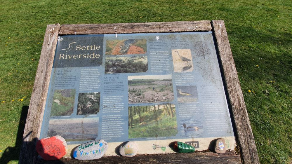
An Information Board providing interesting facts about the local environment and wildlife
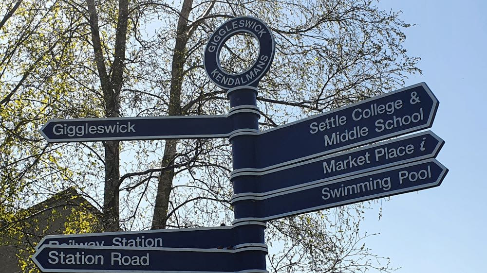
A fingerpost at Kendalmans, close the ford which was used to cross the river in medieval times before Settle Bridge was built.
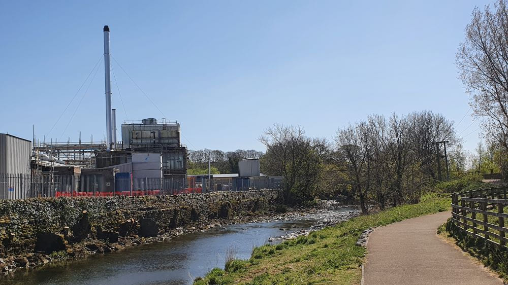
ARLA Creamery - one of Settle's main employers
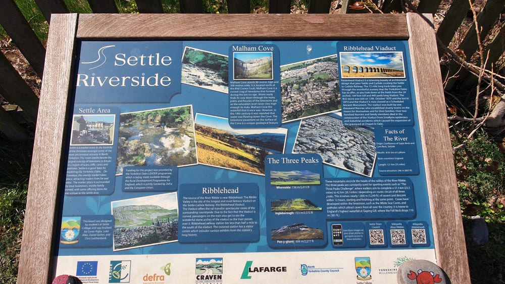
A Board displaying information about other interesting places to visit in the Settle Area